


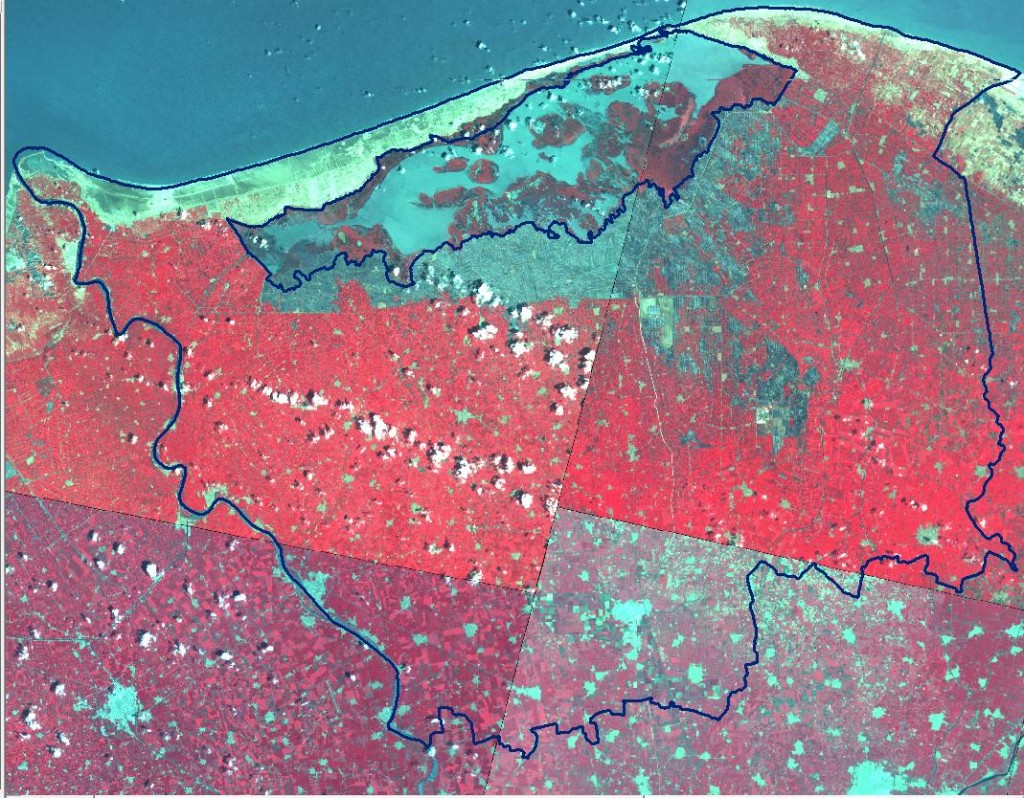
EGYPT: Kafr el Sheikh
Kafr El-Sheikh Governorate lies in the middle north of Nile Delta. Total area = 3466.69 km2.
Its northern coastline on the km 100= Mediterranean and bordered by Rosetta the western branch (Branch km 85 with length) of Nile.
Historical Delopment:
|
EVENT |
MAIN RESULTS |
|
Egypt water use management project (EWUP) 1978-1982 |
Increasing farmer income through some agronomic, engineering, economic social practices and techniques |
|
Irrigation improvement project (IIP) 1990-1998 |
– Alternative irrigation (irrigation line and leaving the next without irrigation) increase the yield 10% and decreased irrigation time 15%. – Farmer income increased according to applying the irrigation practices about 242 LE7fed/season |
Greatest current water challenge:
– Water shortage due to:
• Kafr El-Sheikh is the tail end of the Nile River
• Huge amount of water is lost due to seepage, run-off & evaporation losses
• Rice cultivation (an important crop & highest water use crop)
– Increasing rural poverty and food insecurity
– The lack of coordination between organizations with respect to planning and implementation of physical intervention at the governorate level
– Lack of farmers’ awareness for the safe use of the drainage reuse and/or mixed water.
– Lack of stakeholders participation in the decision making.